Hiking Navigation in 2026: The Honest Guide to Not Getting Lost
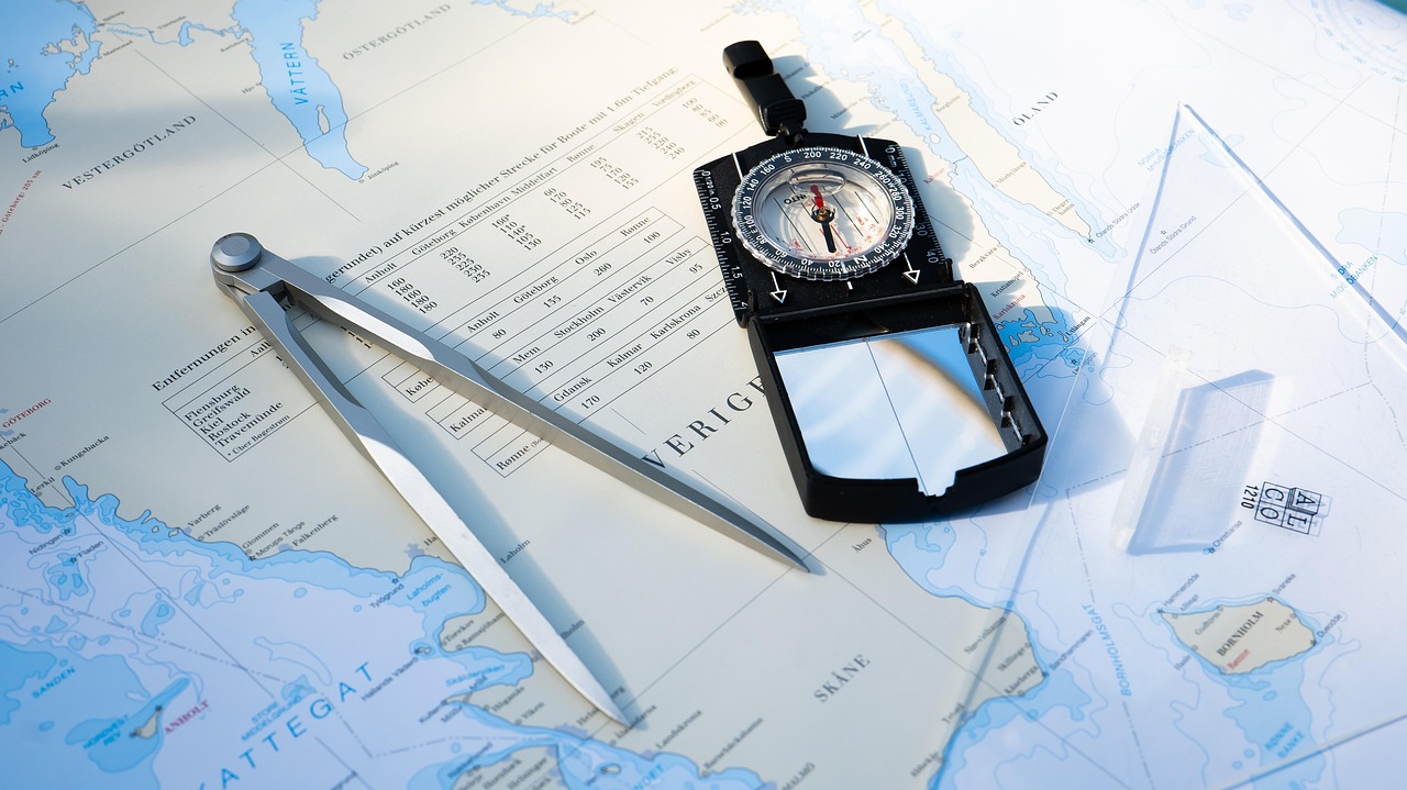
Navigation is the most important hiking skill. Here is the honest guide to what you actually need to know.
Getting lost while hiking — whether briefly disoriented or genuinely lost — is more common than most hikers anticipate and more preventable than most navigation guides acknowledge. The combination of smartphone navigation apps, better trail marking, and more access to information than previous generations has simultaneously made navigation more accessible and created overreliance on tools that can fail. Here is the honest guide to what navigation actually requires.
Why Hikers Get Lost
The most common navigation failures are not dramatic — they are incremental: missing a turn on an unmarked junction, continuing down the wrong fork of a trail with similar character, losing the trail in snow or overgrowth, or misidentifying landmarks. The psychological factor that most navigation guides underemphasize: confirmation bias — the tendency to interpret ambiguous evidence (a faint trail, a distant landmark) as consistent with where you believe you are rather than questioning your current location. Most hikers who get lost did not suddenly become confused at a single moment; they had been gradually wrong for some time before recognizing it.
The Navigation Tools That Actually Matter
The navigation tools in order of reliability: paper maps and compass — do not require power or signal, do not fail from battery death or cell coverage absence, and provide orientation even when GPS is unavailable. Downloaded offline maps (Gaia GPS, AllTrails) on smartphones — very useful when phone has battery and physical environment allows GPS signal, with the caveat that battery life and cold temperatures reduce reliability on longer trips. Paper trail guides — provide reference information but require GPS or map cross-referencing for position. Cell service navigation — the least reliable option for trail navigation due to coverage inconsistency in wilderness areas.

The Skills Worth Learning
The navigation skills with the most practical value: reading topographic maps (understanding how contour lines represent terrain) so that the map connects to what you see around you; using the compass to take bearings from landmarks; the habit of noting landmarks as you hike (the distinctive rock, the creek crossing, the junction) so that backtracking is reliable; and the protocol of stopping when uncertain rather than continuing in the belief that the trail will clarify ahead. The "lost person" research is consistent: stopping and assessing when uncertain produces better outcomes than continuing to walk while uncertain.
Bottom Line: Most getting-lost experiences are incremental (gradual misidentification) not sudden — confirmation bias (interpreting ambiguous evidence as consistent with believed location) is the primary psychological failure mode. Navigation tool reliability: paper maps/compass (most reliable, no power/signal requirement) > downloaded offline maps (reliable when battery and GPS available) > cell navigation (least reliable in wilderness). Most valuable skills: reading topographic maps (terrain visualization), compass bearing, landmark notation while hiking, and stopping to assess when uncertain rather than continuing.